

ERRION
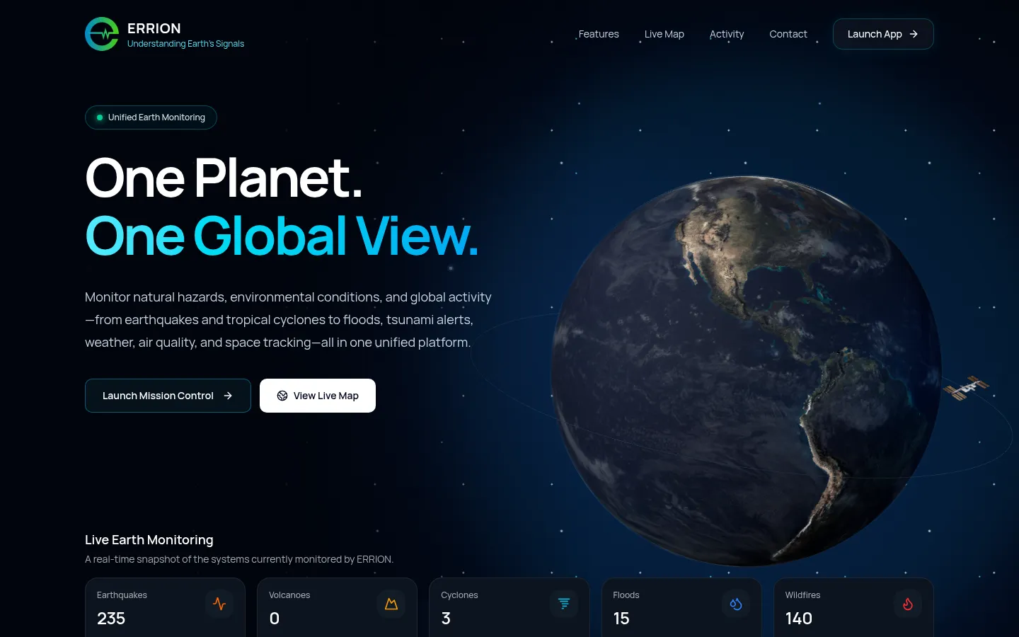
ERRION is a unified Earth monitoring platform that tracks natural hazards, environmental conditions, and global satellite activity through interactive maps.
 Open product
What it does
About ERRION
ERRION is a global Earth monitoring platform that consolidates multiple environmental tracking systems into a unified mission control experience. Users can explore continuously refreshed data on an interactive global map with customizable layers, bringing together information on seismic events, active tropical cyclones, flood risks, operational tsunami alerts, NASA landslide hazard assessments, ambient weather, air quality, and the orbital path of the International Space Station.
- Availability:
- unknown
- Access:
- unknown
- Format:
- software
Core capabilities
Seismic Activity Monitoring
Monitors global seismic activity with historical event logs and detailed earthquake parameters including location, magnitude, depth, and coordinates.
Tropical Cyclone Tracking
Tracks active tropical cyclones with observed movement paths, forecast trajectories, alert levels, and 34, 50, and 64 knot wind fields.
Tsunami Warning Monitoring
Monitors official tsunami warnings, advisories, watches, and threat messages issued by tsunami warning centers.
Keep discovering
Related debuts
Continue with products that solve a similar problem or serve the same kind of maker.