

GeoLens
Open-source, self-hosted catalog and map builder for managing, searching, and analyzing geospatial data.
 Open product
What it does
About GeoLens
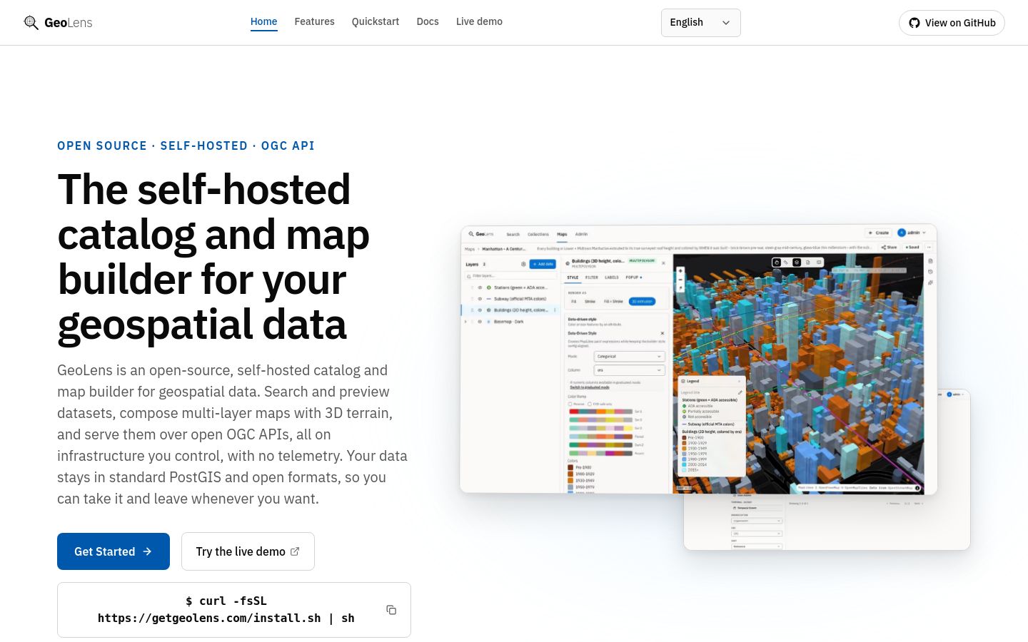
GeoLens is an open-source, self-hosted spatial data catalog and map composition platform designed for teams working with geographic datasets. It combines dataset discovery—supporting metadata search, semantic queries, and geometry type filtering—with browser-based multi-layer map building and 3D terrain visualization. The software handles vector and raster file ingestion, provides built-in spatial analysis functions such as buffering and clipping, and includes role-based permission controls alongside programmatic SDKs and developer integration options.
- Availability:
- launched
- Access:
- free
- Format:
- software
- Platform:
- web
- Platform:
- cli
- Platform:
- api
Pricing at launch: Open source under the Apache 2.0 license and free to self-host.
Core capabilities
Dataset Ingestion & Catalog Search
Ingests vector and raster files such as Shapefile, GeoPackage, GeoJSON, GeoParquet, CSV, XLSX, GeoTIFF, and COG with automatic CRS detection. Enables dataset search by name, description, geometry type, and semantic meaning.
Keep discovering
Related debuts
Continue with products that solve a similar problem or serve the same kind of maker.