

Landset
Landset aggregates permit, tax, and violation data to reveal neighborhood cost patterns and property risks.
 Open product
What it does
About Landset
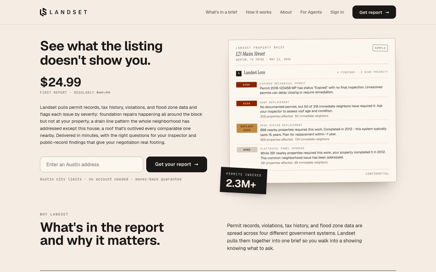
Landset is a property intelligence research tool designed for home buyers and real estate agents evaluating Austin-area real estate. By aggregating permit logs, code enforcement violations, flood zone data, and Travis Central Appraisal District tax records from four government databases, Landset produces detailed due diligence reports. Powered by artificial intelligence analyzing over 2.3 million Austin permit records, the software cross-references a target property's history against work done on nearby homes to identify unpermitted work, flag neighborhood risk patterns, and assign severity ratings from low to critical.
- Availability:
- launched
- Access:
- paid
- Format:
- software
Pricing at launch: $49.99 per report, with the first report discounted to $24.99; no account or subscription required.
Core capabilities
Multi-Source Public Data Aggregation
Aggregates tax history, permit logs, code enforcement violations, and flood zone records from four local government systems into a single report.
Comparative Neighborhood Permit Analysis
Cross-references a property's permit records against permitted work on surrounding homes to surface hidden issue patterns and potential unpermitted work.
Keep discovering
Related debuts
Continue with products that solve a similar problem or serve the same kind of maker.